
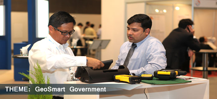
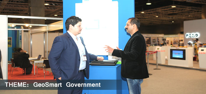
Technical Session
Convergence: Enabling Geospatial Workflows
The convergence of key technologies like cloud computing and big data have far reaching implications that can certainly change the world. Big data can offer valuable insights to offer competitive advantage and thus add to the revenues. On the other hand, cloud computing promises to increase productivity while reducing costs. With organisations moving towards creating their own cloud environments, it presents an excellent opportunity to use cloud computing as a tool that supports big data projects. The half-day session on Convergence: Enabling Geospatial Workflows will look at how the convergence of key technologies is enabling better geospatial workflows. Some of the major aspects that the session will touch upon include:
- » The use of Cloud Computing for enhanced geospatial workflows
- » Turning big data into a competitive asset
- » How the convergence of various technologies is enabling geospatial workflows
 Lynn Liu Lynn LiuTechnica Consultant SuperMap China Abstract |  Dean McCormick Dean McCormick Regional Manager Geospatial Products Middle East and Africa Intergraph Corporation South Africa Abstract |
 Hans Viehmann Hans ViehmannProduct Manager Oracle Deutschland Germany Abstract |

Dr. Ahmed Abukhater |
 Ron Lake Ron Lake Chief Executive Officer Galdos Systems Canada |  Dr. Oualid Ali Dr. Oualid AliHead of MIS Department University of Sharjah UAE Bio | Abstract |
 Ibrahim Y. Al Obaidly Ibrahim Y. Al Obaidly Department Head - Geo Spatial Services Bayanat for Mapping and Surveying services LLC UAE Abstract | Dr. Thomas Heege CEO EOMAP Germany Abstract |
| Shaheryar Chaudhry Google Enterprise Technical Lead, Space Imaging Middle East UAE Abstract |
Ishan Das Infotech Enterprises India Abstract |

Middle East Geospatial Forum 2014 Secretariat
Geospatial Media and Communications (FZE) Executive Suite Z3 30
P O Box 121324 SAIF Zone Sharjah, U.A.E. Tel: + 9716 5529592 Fax: +9716 5529584
