
Director Generals Message
 H.E. Eng Hussain Nasser Lootah
Director General
Dubai Municipality
UAE
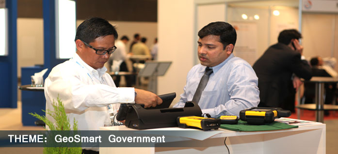
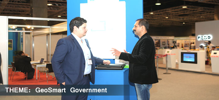
After its tremendous success over the years, since being first held in the region back in 2005, we are pleased to welcome the 9th edition of the Middle East Geospatial Forum, which is scheduled to be held at Hotel Al Bustan Rotana in Dubai during 2-4 February, 2014. Dubai Municipality feels delighted and honoured to be the co-organiser of this extremely significant event.
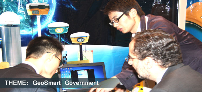
Geospatial technologies have witnessed rapid advancements over the past few years and the technologies have become an inseparable part for the functioning of most organisations in the Middle East. With Dubai preparing for the Expo2020 and numerous projects coming up in the near future, the use of geospatial technology is also set to increase manifold. However, with rapidly expanding cities and new infrastructure being built every day, challenges like city management and providing means of livelihood to the ever expanding population have also risen.
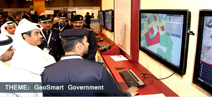
The geospatial community in the Middle East is playing a vital role in addressing various issues by enabling agencies to carry out their jobs quickly and more efficiently. Geospatial technology, with its ability to provide the right information to the right people at the right time, simplifies tasks a great deal and helps tackle these challenges in a more efficient way. The application of these technologies results in improved decision making at various levels, ensuring increased opportunities for industry and society. The geospatial community thus acts as the backbone for efficient governance, leading to overall growth and development.
Dubai Municipality aims to plan, design, build and manage the municipal infrastructure and thus create an excellent city that provides the essence of success and comfort of sustainable living. The Municipality has been instrumental in promoting and propagating the application of geospatial technologies across various sectors in the country. Apart from carrying out its usual municipal and city management functions, Dubai Municipality also plays a key role as a provider of relevant geographic information to other government entities across the Emirate of Dubai. As a result, various agencies across Dubai, ranging from environment to utilities, have started to deploy geospatial technology widely in their everyday functioning. The Municipality is executing several key projects that are set to change the face of Dubai during the coming years. Some of the projects include: Smart Geo-Address (MAKANI) Project, Dubai Cadastral Program, Dubai Base Map Project, Dubai Utility Map Project (UMAS Program) and the Dubai Soil Map Project (UMAS Program).
As the Director General of Dubai Municipality, I am looking forward to this opportunity to share our knowledge and experience with the geospatial community from around the world. With its theme as GeoSmart Government, Middle East Geospatial Forum 2014 is a step towards bringing together representatives from various verticals and organisations in the region to discuss and deliberate on a variety of topics and thus help in the further expansion of these technologies for the overall benefit of the region.
With this, I welcome you all to this extremely important event and hope that you have an extremely wonderful and enlightening experience throughout the event.

Middle East Geospatial Forum 2014 Secretariat
Geospatial Media and Communications (FZE) Executive Suite Z3 30
P O Box 121324 SAIF Zone Sharjah, U.A.E. Tel: + 9716 5529592 Fax: +9716 5529584
