GRASF 2015

The GIS & Remote Sensing Annual Scientific Forum organised by the GIS department of Dubai Municipality is an annual event which showcases the latest developments in the field of geospatial science and technologies. The event, which has become a most sought after congregation of GIS and Remote Sensing professionals from across the Middle East region, showcases several keynote and technical presentations on varied topics. The 2015 event would be held along with the Middle East Geospatial Forum.

Read More...


MIDDLE EAST GEOSPATIAL FORUM 2015

With geospatial technologies having expanded their reach into every vertical and each facet of our daily lives, time is ripe for the society to discuss and deliberate on the easy in which these technologies can help us propel our growth to the next level.

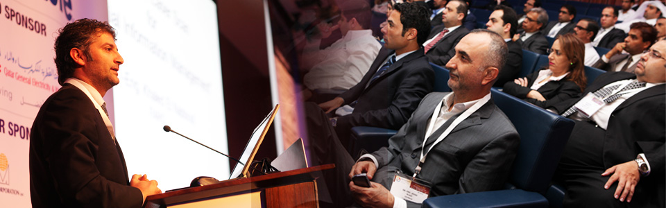
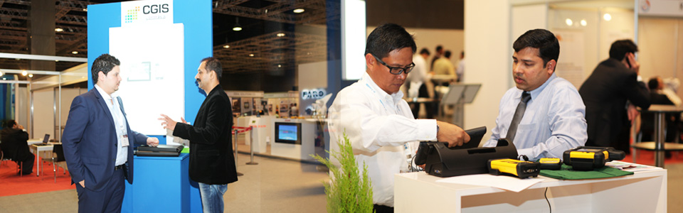
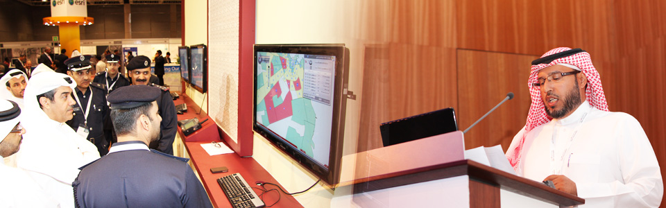
The Middle East with its abundance of resources and plenty of availability of technological know-how provides a fertile ground for the use and applicability of advanced spatial technologies in order to ensure accelerated growth and development. However, in order to make sure that these objectives are achieved, there is a need to create a knowledge sharing platform which can bring together stakeholders from all walks of life to share ideas and information. Geospatial Media and Communications (formerly known as GIS Development) is dedicated to raising the profile and expanding the horizons of the global geospatial industry. As part of its efforts to ensure global knowledge sharing amongst geospatial professionals across the globe, Geospatial Media and Communications is pleased to announce that the Middle East Geospatial Forum 2015 would be held at Hotel Al Bustan Rotana in Dubai, UAE from 15th to 17th February, 2015.


  Advertisement

Geospatial Training Programme:
All About Geospatial

The full day training programme will witness some of the most renowned names from the geospatial world talk about the basics of these technologies while citing real-world examples from across the world. Do not miss this great chance

Workshop on Standards & Interoperability

In this one hour workshop, This workshop will provide attendees with an overview of the open standards framework used globally to support geospatial and location information sharing across systems, applications, networks and the mobile environment. Open standards are becoming increasingly important to not only to assure ease of information sharing, but to support rapid mobilization of new capabilities, to reduce IT lifecycle costs, and to minimize effort. The workshop will also provide insight into standards work to advance standards and best practices for smart cities, mobile applications, indoor location and navigation. Examples of implementations from around the world will be featured.

Workshop on 3D Laser Scanning

The workshop on 3D laser scanning will highlight how the unmatched ability of laser scanning in saving time and money along with its ability to improve the design process and cut down on data collection errors makes it an attractive substitute to conventional data collection techniques.

Strategic sponsor

Gold Sponsors

Supporting Organisation

Institutional Partner

GRASF Organiser & MEGF Co-Organiser

MEGF Organiser

Middle East Geospatial Forum 2015 Secretariat
Geospatial Media and Communications (FZE) Executive Suite Z3 – 30
P O Box 121324 SAIF Zone Sharjah, U.A.E. Tel: + 9716 5529592 Fax: +9716 5529584